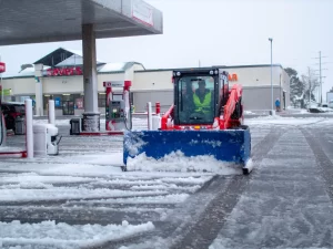
At Ponderosa Pathways, we understand how critical Flagstaff’s winter weather is for residents, businesses, and visitors alike. Whether it’s clearing snow from driveways, ensuring safe parking lots, or preparing for outdoor adventures, we keep a close eye on seasonal weather patterns. This year, as Flagstaff has experienced a slow start to winter, one key factor influencing our weather is La Niña.
What Is La Niña?
La Niña refers to a climate pattern in the Pacific Ocean where sea surface temperatures are cooler than average. This cooling impacts global weather patterns, often resulting in drier conditions for the southern United States, including Arizona. However, La Niña’s effects can vary, and Flagstaff’s unique geography sometimes creates exceptions to the rule.
Historically, La Niña winters in Flagstaff have been unpredictable. While the overall trend might lean toward drier conditions, we’ve also seen years where La Niña brings bursts of significant snowfall. The key lies in how the jet stream interacts with our region. A more southerly dip in the jet stream could deliver much-needed storms and snow to northern Arizona, while a more northern path could leave us dry.
Insights From Previous La Niña Winters
To better understand what this year might hold, let’s look at some data from past La Niña events in Flagstaff:
- 2011-2012: This was a classic dry La Niña winter, with Flagstaff receiving just 56 inches of snow—well below the seasonal average of 102 inches. Storms were sparse, and the snowpack remained thin.
- 2017-2018: Another La Niña year brought 66 inches of snow, slightly higher than 2011 but still below average. However, the bulk of the snow came in late February and early March, showing that even in drier years, significant snowfall can occur late in the season.
- 2020-2021: While not as strong a La Niña, this season saw 78 inches of snow, which was closer to normal but still shy of the average. This year was marked by sporadic storms and long dry spells, much like what we’ve seen so far this winter.
- 2022-2023: Bucking the trend of dry La Niña winters, the 2022-2023 season was exceptionally snowy. Flagstaff recorded 163.1 inches of snow, making it the 5th snowiest winter on record. The strong storms and consistent snow accumulation throughout the season highlighted the unpredictable nature of La Niña’s influence on Flagstaff’s unique geography.
These past winters show how variable La Niña can be. While drier-than-average conditions are common, Flagstaff’s unique elevation and geography mean we can still see significant snowfall, especially later in the season.
For more details on La Niña patterns, check out NOAA’s La Niña Overview or Flagstaff Weather Trends.
What happens during a La Nina?
La Niña winters are often influenced by the interaction between oceanic and atmospheric patterns in the Pacific. Cooler-than-average sea surface temperatures in the equatorial Pacific cause shifts in the jet stream, which can lead to the following effects in the western United States:
- High-Pressure Systems: A persistent ridge of high pressure often forms over the western U.S. during La Niña years, steering storm systems away from Arizona and creating drier-than-average conditions in the southern tier of the country.
- Northern Jet Stream Shift: The polar jet stream tends to move farther north, resulting in more storm activity for the Pacific Northwest and northern Rockies while bypassing regions like northern Arizona.
- Occasional Storm Intrusions: Despite the overall trend of dryness, the positioning of the jet stream can sometimes dip far enough south to allow moisture-laden storms to impact Flagstaff. These bursts are often responsible for the heavier snowfalls in some La Niña years.
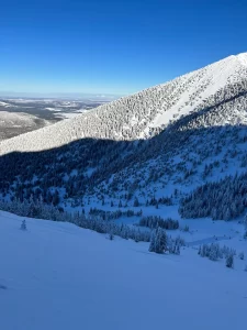
- Elevation and Local Effects: Flagstaff’s elevation (7,000 feet) and proximity to mountainous terrain mean that even in drier patterns, local upslope conditions can amplify snowfall in the area when moisture is available.
The Impact on Winter 2025
Flagstaff’s winter season started off slowly this year, as outlined in our recent update, “Flagstaff Winter Update – January 8th, 2025: A Weak Start with Hints of More Snow Ahead”. While La Niña years don’t guarantee heavy snow, they often bring bursts of activity later in the season, particularly in February and March.
What This Means for Flagstaff Residents
- Be Prepared for Late-Season Snowstorms: While the early winter months have been mild, the potential for significant snowfall later this season remains. Ensure your vehicles, homes, and outdoor spaces are winter-ready.
- Variable Snow Clearing Needs: For businesses and homeowners, snow removal may remain sporadic, with long stretches of dry conditions punctuated by heavy snowfall. At Ponderosa Pathways, we’re prepared to handle whatever winter throws our way.
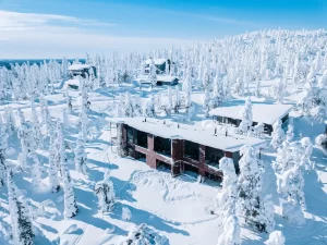
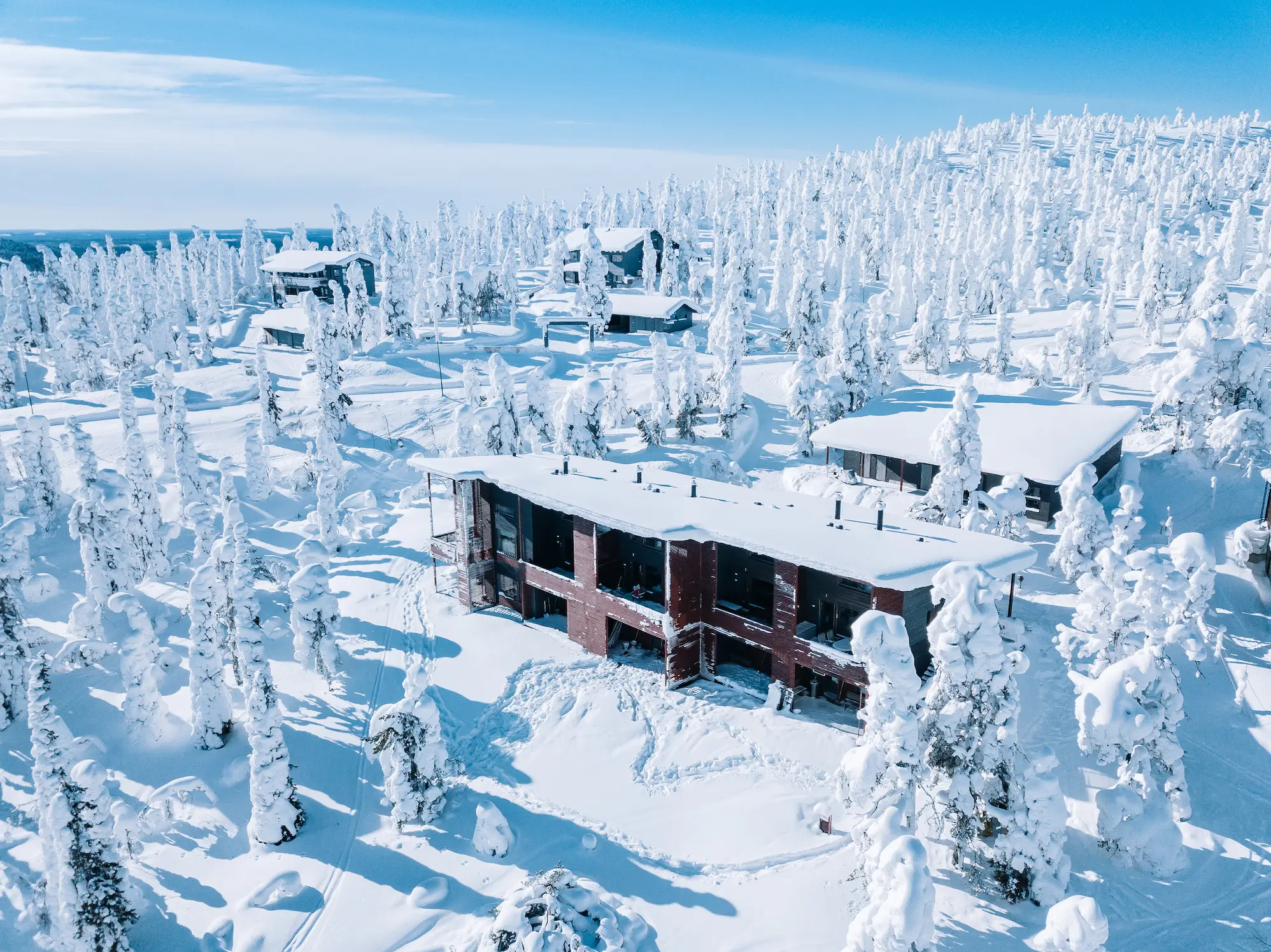
- Outdoor Enthusiasts Should Stay Optimistic: Flagstaff’s high elevation and unique location mean that even in La Niña years, we often see snowfall that transforms the landscape into a winter wonderland. Keep an eye on the forecast and plan your outdoor activities accordingly.
A Look Ahead
While no one can predict Flagstaff’s weather with absolute certainty, La Niña’s influence on 2025 suggests a winter of surprises. As we move into February and March, we’ll likely see more frequent storm activity and the possibility of a late-season snowpack that defines Flagstaff winters.
At Ponderosa Pathways, we’re committed to helping our community navigate the season, whether it’s clearing snow, providing updates, or just enjoying the beauty of northern Arizona.
Stay tuned for more updates as the season progresses. Here’s to hoping for a snowy conclusion to what has been a mild start to winter!