If you’ve been following the weather news lately, you’ve probably heard the term “Super El Niño” getting thrown around — and if you own a home, run a business, or manage commercial property in Flagstaff or anywhere in Northern Arizona, it’s worth paying attention.
NOAA issued an El Niño Watch earlier this year, and seasonal forecast models are now pointing to what could be one of the strongest El Niño events in decades developing through late 2026 and into 2027. At Ponderosa Pathways, we plan a big chunk of our year around Northern Arizona’s weather, so we’ve been digging into what this actually means — both for the winter ahead and the monsoon season just around the corner.
This post breaks down three things: what a Super El Niño actually is (in plain English), how El Niño historically affects Flagstaff in both summer and winter, and what property owners in the area should think about as we head into the back half of 2026.
What Is a Super El Niño? (The Plain-English Version)
Let’s start with the basics. El Niño is a recurring natural climate pattern. Every few years — usually every 3 to 7 — the surface of the Pacific Ocean near the equator gets warmer than normal. That warming isn’t small, and it isn’t local. When a huge stretch of tropical ocean heats up, it changes where thunderstorms form, which changes where the jet stream goes, which changes weather patterns across the entire planet.
Think of it this way: the tropical Pacific is one of Earth’s biggest weather engines. When you change the temperature of the fuel, you change how the engine runs.
The strength of an El Niño event is measured by how far above normal those ocean temperatures climb. Meteorologists have a rough scale for it:
- Weak El Niño: about 1°F to 1.8°F above normal (0.5°C to 1.0°C)
- Moderate El Niño: about 1.8°F to 2.7°F above normal (1.0°C to 1.5°C)
- Strong El Niño: about 2.7°F to 3.6°F above normal (1.5°C to 2.0°C)
- Very Strong / “Super” El Niño: 3.6°F or more above normal (2.0°C+)
That last category is rare. Since 1950, only a handful of El Niño events have hit the Super threshold — 1972–73, 1982–83, 1997–98, 2015–16, and 2023–24. These events tend to get their own chapter in weather history because of how dramatically they reshape a year’s weather.
Right now, NOAA and international forecast models are signaling that 2026–27 could join that list. Some ensemble forecasts are projecting peak anomalies above +4.5°F (+2.5°C) by late 2026 — territory that only the 2015–16 event has reached in the modern record. Yale Climate Connections has a detailed breakdown of the current model projections if you want to go deeper.
Quick takeaway: A Super El Niño is the Pacific Ocean doing a version of what it already does, just turned up to 11. The stronger the signal, the bigger the ripple effects on our weather here in the Southwest.
Why Flagstaff Pays Extra Attention to El Niño
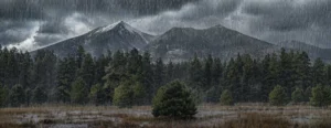
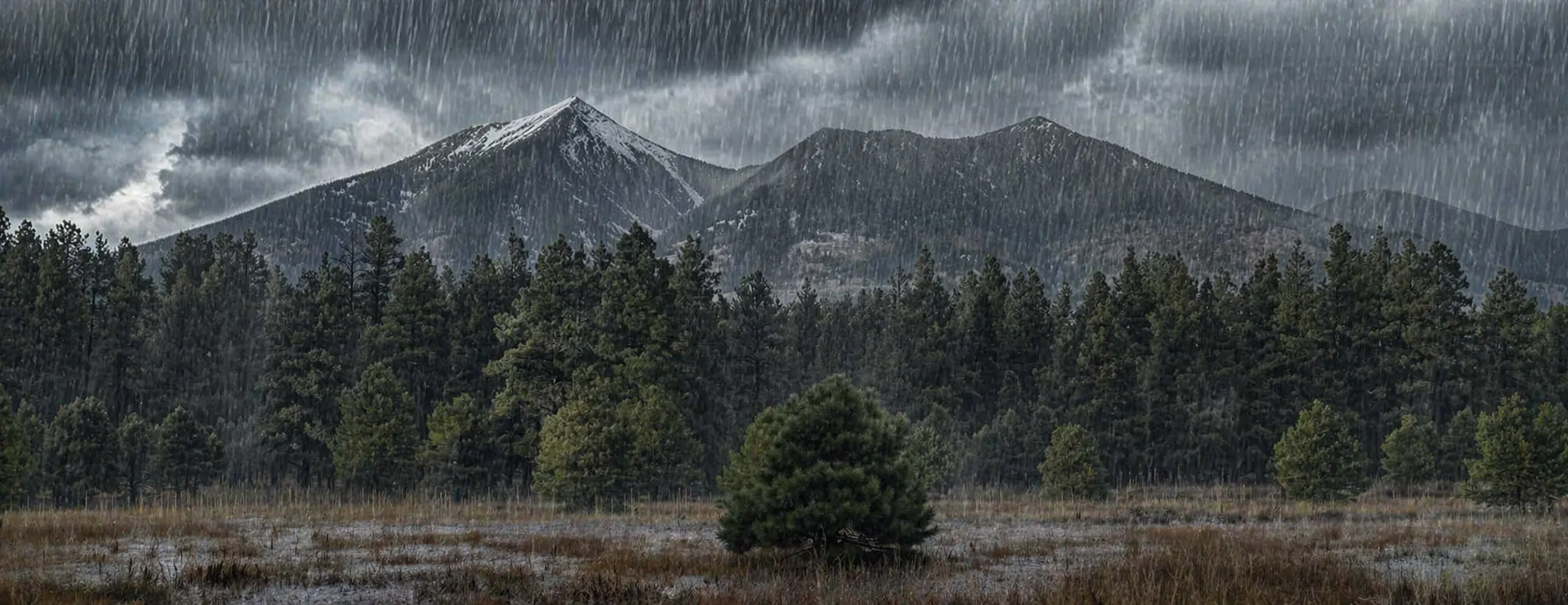
Here’s where it gets interesting for those of us living and working in Northern Arizona. Flagstaff sits in a pretty unique spot — high elevation (around 7,000 feet), semi-arid climate, and directly in the path of the southern storm track that El Niño tends to strengthen.
When El Niño conditions develop, the jet stream over the eastern Pacific tends to split, and the subtropical jet stream strengthens and shifts south. That subtropical jet is basically a conveyor belt for storms — and it points right at the Southwest. More storms on that conveyor belt means more precipitation opportunities for Arizona, especially the northern half.
The numbers on this are striking. The National Weather Service’s Flagstaff office has tracked decades of data comparing El Niño winters to La Niña winters right here in town:
That’s nearly three times the precipitation and almost double the snowfall during El Niño winters compared to La Niña. This isn’t a guarantee for any single winter — meteorologists are careful to point out that El Niño “tilts the odds” rather than locking in an outcome — but over time, the pattern is real and significant.
What a Super El Niño Winter Could Look Like in Northern Arizona
Assuming the current forecast holds and we do end up in Super El Niño territory by late 2026, the winter of 2026–27 could be one to remember. Historically, strong El Niño winters in Flagstaff have produced:
- More frequent and more intense winter storms, especially December through February
- Above-average snowfall totals — sometimes dramatically so (the 1972–73 El Niño produced a 210-inch snowfall season)
- Colder average temperatures, especially in the southern tier of the U.S.
- More frequent road closures on I-17, I-40, and mountain routes — ADOT’s 511 system becomes your best friend in wet winters
- Heavier snow loads on roofs, awnings, and commercial structures
- Extended melt seasons with more runoff, ice damage, and drainage stress
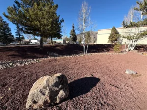
For property owners, that translates to real practical concerns: snow removal budgets that get blown through by January, de-icing needs that stretch into April, drainage systems that get tested harder than usual, and a much higher risk of water intrusion, ice dams, and freeze-thaw damage to concrete, asphalt, and building envelopes. If you’re thinking through seasonal prep, our commercial maintenance page covers how we handle this on ongoing service plans.
What About Sedona, Williams, Prescott, and the Rest of Northern Arizona?
The Super El Niño signal doesn’t stop at the Flagstaff city limits. Communities across Northern Arizona — Sedona, Williams, Prescott, Cottonwood, Camp Verde, Page, and the Navajo and Hopi lands — all sit under similar influences from that strengthened subtropical jet stream. Lower-elevation areas see more of that precipitation fall as rain rather than snow, but the overall pattern of a wetter, stormier winter applies across the region. We service most of Northern Arizona, so we watch these forecasts closely across the whole region.
The Summer Question: What About Monsoon Season?
Here’s where the story gets more interesting — and more relevant for the months right in front of us.
The Arizona monsoon runs from roughly mid-June through the end of September. It’s driven by moisture pulled up from the Gulf of California and the eastern Pacific, and it’s responsible for a huge share of our annual rainfall. El Niño’s impact on the monsoon is historically more variable than its impact on winter — but the signs for 2026 are leaning interesting.
The NOAA Climate Prediction Center is currently forecasting a wetter-than-normal monsoon season for Arizona in 2026, and several meteorologists have pointed out that the transitioning ENSO pattern could open the door for more tropical moisture and even tropical systems to influence the back half of the monsoon (August and September). Axios Phoenix has a good recent summary of the Arizona-specific outlook.
For Flagstaff and Northern Arizona, a wetter monsoon means:
- More frequent afternoon thunderstorms, often with heavy, localized downpours
- Flash flood risk on burn scars, washes, and low-lying areas — NWS Flagstaff issues watches and warnings throughout the season
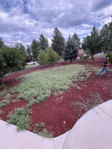
- Accelerated plant growth — weeds, grasses, and brush all take off
- Moss, algae, and mildew buildup on shaded pavement, walkways, and building exteriors — this is exactly what our pressure washing service is built to handle
- Dirtier exteriors from wind-driven rain, splash-up, and debris
- Increased pressure on drainage systems at commercial properties
The catch for Arizona: even if 2026’s winter and summer both run wetter than average, one good year doesn’t undo decades of drought. A wet Super El Niño can provide real short-term relief, but reservoirs, aquifers, and forest health need sustained wet cycles to truly recover.
What Property Owners Should Be Thinking About
Whether you manage a commercial site, own a rental portfolio, or just want to keep your own home in good shape, the months ahead are a good time to get ahead of the weather rather than react to it. A few practical steps worth thinking through:
Before Monsoon Season (Now Through June)
- Inspect and clear drainage — gutters, downspouts, French drains, parking lot drains, and any culverts or swales on your property
- Schedule pressure washing for walkways, drive-thru lanes, and high-traffic concrete before the monsoon hits, so you’re not trying to book service during peak demand. Reach out to get on the schedule.
- Trim trees and brush away from structures, power lines, and drainage paths — monsoon wind gusts routinely hit 40–60 mph
- Check roof condition — flashing, seals, and any existing minor damage will get tested hard
- Review your service schedules — if you’re on a monthly or bi-weekly maintenance plan, make sure frequency matches what a wetter summer is going to demand
Before Winter (Roughly September Through November)
- Finalize snow removal contracts early — in heavy-snow years, providers fill up fast
- De-icing supplies get scarce in big winters; don’t wait until December to source them
- Winterize irrigation before the first hard freeze
- Inspect concrete and asphalt for existing cracks — freeze-thaw cycles will turn small cracks into big ones fast
- Check roof load capacity on commercial awnings, carports, and any older structures
Frequently Asked Questions
Is Super El Niño 2026 definitely going to happen?
No — even the best forecast models deal in probabilities, not certainties. As of April 2026, NOAA gives roughly a 62% chance that El Niño will emerge between June and August, and several models are pointing to a Super-level event by late 2026. That’s a strong signal, but it isn’t a guarantee. Expect the picture to get clearer through summer.
Does El Niño always mean a wet winter in Flagstaff?
No. El Niño “tilts the odds” toward wetter winters but doesn’t guarantee one. Since 1950, about two-thirds of El Niño winters in Arizona have run near or above average for precipitation — but that still leaves a third that didn’t. Strong and Super El Niños have historically produced some of Flagstaff’s wettest winters, though.
How does El Niño affect the monsoon?
The summer monsoon’s connection to El Niño is messier than the winter connection. El Niño’s peak influence on our weather usually shows up in fall and winter, when the jet stream is stronger. But for 2026, forecasters are currently projecting a wetter-than-normal monsoon, partly because of the ENSO transition and partly because of broader Pacific warming patterns.
When should I book pressure washing or property maintenance ahead of a wet summer?
Earlier is better. Booking schedules tighten once the first major monsoon storms hit — typically in late June or early July. If you want service done on a specific date or want to stay on a predictable schedule through the busy season, reach out in April or May. Contact us or learn more about our pressure washing service.
Planning ahead for a wet 2026?
Ponderosa Pathways handles pressure washing, property maintenance, and seasonal prep across Flagstaff and Northern Arizona. We’d rather help you get ahead of the weather than react to it.
Get in Touch