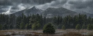

A Changing Season in Northern Arizona
As the aspens turn gold and mornings get crisp, everyone in Flagstaff — from business owners to homeowners — starts asking the same question:
“What kind of winter are we in for this year?”
The short answer: expect variability.
The long answer: we’re entering a climate phase called ENSO-neutral, which means the Pacific Ocean isn’t leaning heavily toward either El Niño (warm and wet) or La Niña (cool and dry).
Most long-range forecasts hint at a weak La Niña developing through late fall, which could shape our weather patterns into early 2026.
That’s worth noting, because both neutral and La Niña winters have historically delivered some of Flagstaff’s snowiest seasons. These patterns send quick-hitting, cold Pacific storms barreling across the Southwest, often dropping short but heavy snow bursts.
What Is ENSO, Anyway?
ENSO stands for El Niño – Southern Oscillation. It’s a recurring climate pattern driven by shifts in sea surface temperature NSO stands for El Niño–Southern Oscillation, a recurring climate rhythm caused by temperature shifts across the tropical Pacific Ocean.
It’s like Earth’s thermostat — when the Pacific warms or cools, it rearranges jet streams, air pressure, and storm paths across the globe.
Let’s break down the three main phases:
- 🌊 El Niño — The Pacific’s surface waters are warmer than normal. Trade winds weaken, and storms tend to ride farther south, bringing wetter conditions to the U.S. Southwest. (NOAA PMEL)
- ❄️ La Niña — The Pacific cools. Trade winds strengthen, shifting the jet stream northward and often creating colder, stormier conditions for the northern U.S. but drier spells for the southern tier — except when the jet dips just enough to catch northern Arizona. (Climate.gov)
- ⚖️ Neutral — Conditions balance near average. Without a strong oceanic push, local factors like topography and short-term weather patterns decide who gets the snow.
Neutral years are often the wildcards. They’ve brought both mild winters and record-breaking storms to Flagstaff — sometimes within the same season.
What 2025–26 Looks Like: The Current Signals
As of early October, the Pacific sits in a neutral phase, but ocean cooling in the central Pacific hints at La Niña emerging by late fall.
That likely means:
- Storms will be hit or miss. Some months could stay dry while others deliver multiple back-to-back systems.
- Temperature swings will be dramatic. Think sunny 50 °F afternoons followed by 10 °F mornings.
- Freeze-thaw cycles will be frequent. These can turn light snowfalls into thick ice sheets overnight.
- Big late-season storms are possible. February–March historically bring the heaviest totals under weak La Niña conditions.
Historically, Flagstaff’s biggest years — including 2019 (over 120″) — occurred under neutral-to-weak La Niña setups. (NOAA Climate Data)
So while the pattern isn’t extreme on paper, it’s one to take seriously.
Flagstaff’s Winter Wildcard
Flagstaff’s high-elevation climate doesn’t always follow national forecasts.
Even small changes in jet-stream position can make the difference between two inches of slush and two feet of powder.
That’s why local monitoring matters more than national models.
Based on current trends, here’s what commercial property managers should prepare for:
| Factor | What to Expect |
|---|---|
| Storm Frequency | Fewer total storms but likely several large events with deep accumulations. |
| Temperature Swings | Big ups and downs — sunny 50 °F days followed by single-digit nights. |
| Freeze-Thaw Cycles | Frequent. Expect refreezing meltwater and slick morning conditions. |
| Late-Season Snow | February–March could deliver heavier, colder systems. |
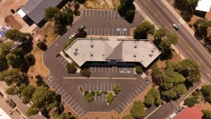
What It Means for Property Managers & Businesses
For commercial properties — hotels, campuses, apartment complexes, and retail centers — the biggest challenge isn’t “how much snow,” it’s when and how it falls.
- Freeze timing is everything. Once snow melts and refreezes, it bonds to asphalt and concrete, making removal far more difficult (and expensive).
- Liability risk spikes when properties delay clearing — slips, blocked access, and drainage issues follow quickly.
- Timing matters for crews. Dry stretches lull teams into complacency; sudden, heavy storms strain schedules and budgets.
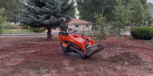
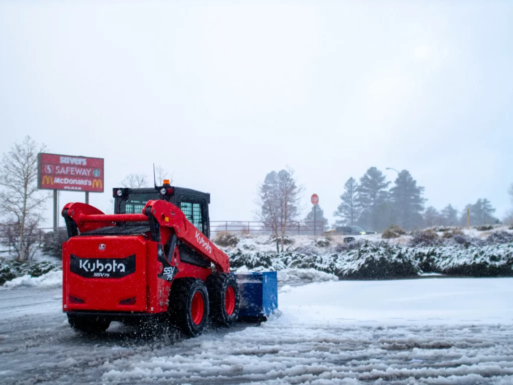
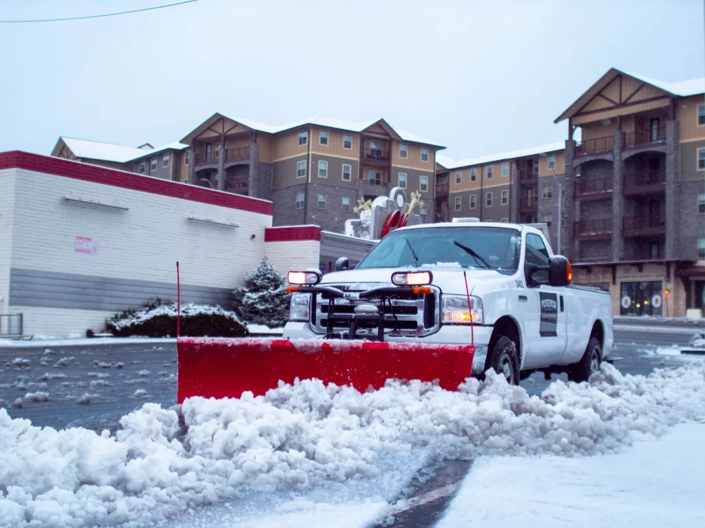
That’s why Ponderosa Pathways monitors conditions 24/7 and dispatches automatically before surfaces freeze. We don’t skip visits, because skipping leads to ice buildup, surface damage, and safety hazards.
How to Prepare Now
For property owners, a little prep now can prevent major headaches later:
- Inspect storm drains and make sure runoff channels are clear.
- Stake curbs and parking islands to guide plows during deep snow.
- Trim low branches near drive lanes and sidewalks.
- Mark high-priority areas (ADA ramps, loading docks, main entries).
- Confirm your seasonal contract before the first storm — early clients receive priority scheduling and rate protection.
The Bottom Line
Winter 2025–26 won’t be predictable — but it will be manageable with preparation.
A weak La Niña and neutral ENSO phase mean big swings, short warning windows, and a real chance of surprise storms.
At Ponderosa Pathways, we’re ready — with expanded routes, real-time monitoring, and crews on standby from November through March. Whether it’s your business parking lot or a mountain apartment complex, our mission is simple: keep your property open, safe, and protected all winter long.