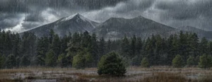
We’ve had a mild stretch for November, but the pattern is shifting. A Pacific system arrives late this week and will knock temperatures down, bring showers to town on Friday, and mix in some snow Friday night into early Saturday—especially up high on the Peaks and surrounding ridges. At city elevation, this first wave looks more wet than white, with any sticking depending on timing and how quickly the colder air settles in.
The story gets more interesting next week. Behind the first system, we turn colder and a bit unsettled. Daytime highs slide into the low 40s, and nights dip well into the twenties. That means freeze–thaw is back: wet by day, slick in the early morning on shaded sidewalks, stair treads, and north-facing driveways. With colder nights in place, in-town accumulation becomes more realistic. If one of the mid-week disturbances lines up with the overnight window—around November 18th to 20th—we could see light, timing-dependent snow in town, up to a few inches if everything comes together. That’s a reasonable expectation right now, not a guarantee, and we’ll keep watching the updates as the window gets closer.
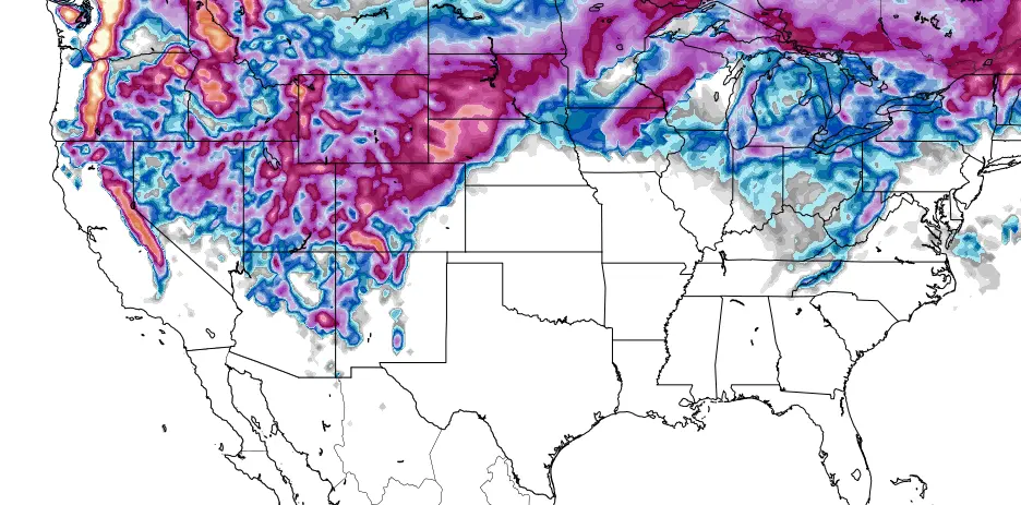
Looking toward Thanksgiving, longer-range guidance hints that the storm door may stay at least partly open. Some model runs stack multiple systems and suggest the region could add up over several rounds. That’s guidance, not a forecast, and it changes from run to run. The practical takeaway is simply this: late November looks active enough that it’s worth paying attention.
For the season as a whole, the broader backdrop is a weak La Niña. Around northern Arizona, that often means temperatures running near to slightly warmer than average on the whole, with mixed results for precipitation. In plain English, there may be fewer storms overall, but when the track is right, a couple can be stronger and more productive. Day to day, our elevation and storm timing still call the shots.
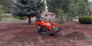
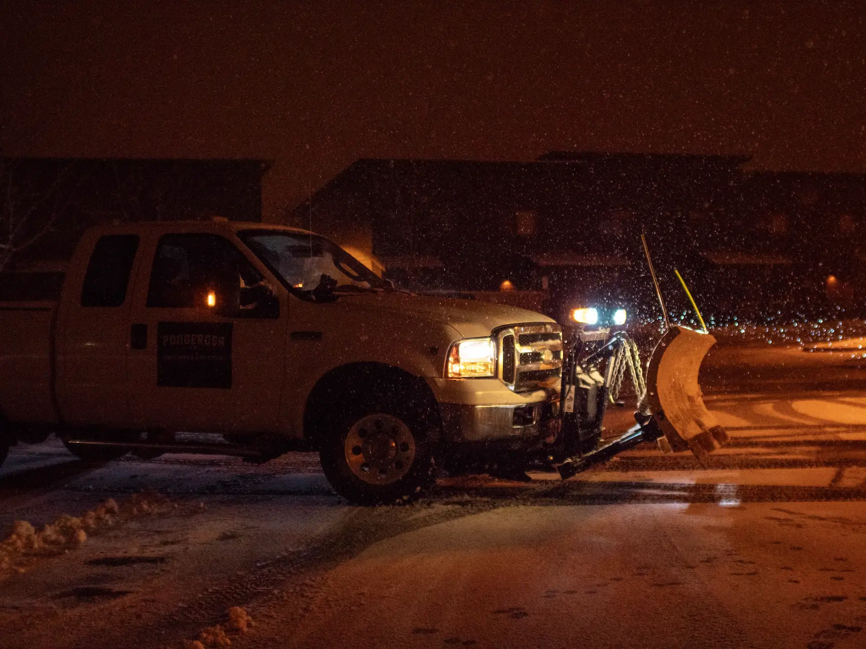
A quick note to our community about service: during winter weather, Ponderosa Pathways prioritizes our year-round maintenance clients and our commercial customers. Those sites are already staged in our routes and will see prompt service during events and follow-ups as conditions ease. If you are one of our maintenance or commercial partners and need to update site notes, gate codes, or de-icer preferences, please reach out so we can keep your property moving smoothly through this pattern. For spring work planning, existing maintenance clients can also coordinate early scheduling now so we’re ready to move when the ground opens up.
We live here too, and we’ll keep watching the changes. As the next waves get within a day or two, we’ll post sharper details on snow levels and likely totals for town versus the high country. In the meantime, enjoy the last of the mild afternoons, and take a minute to clear leaves from drains and walk edges so meltwater has somewhere to go. Winter’s tapping on the door.